
Maps customized for your project

LOCALmaps
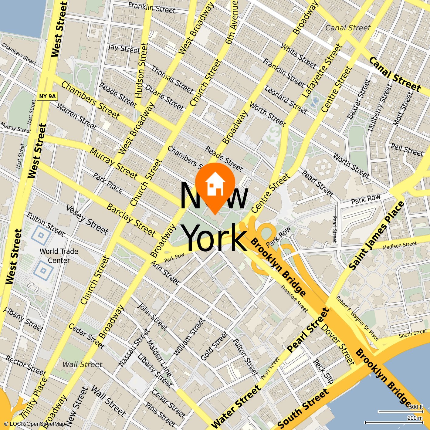
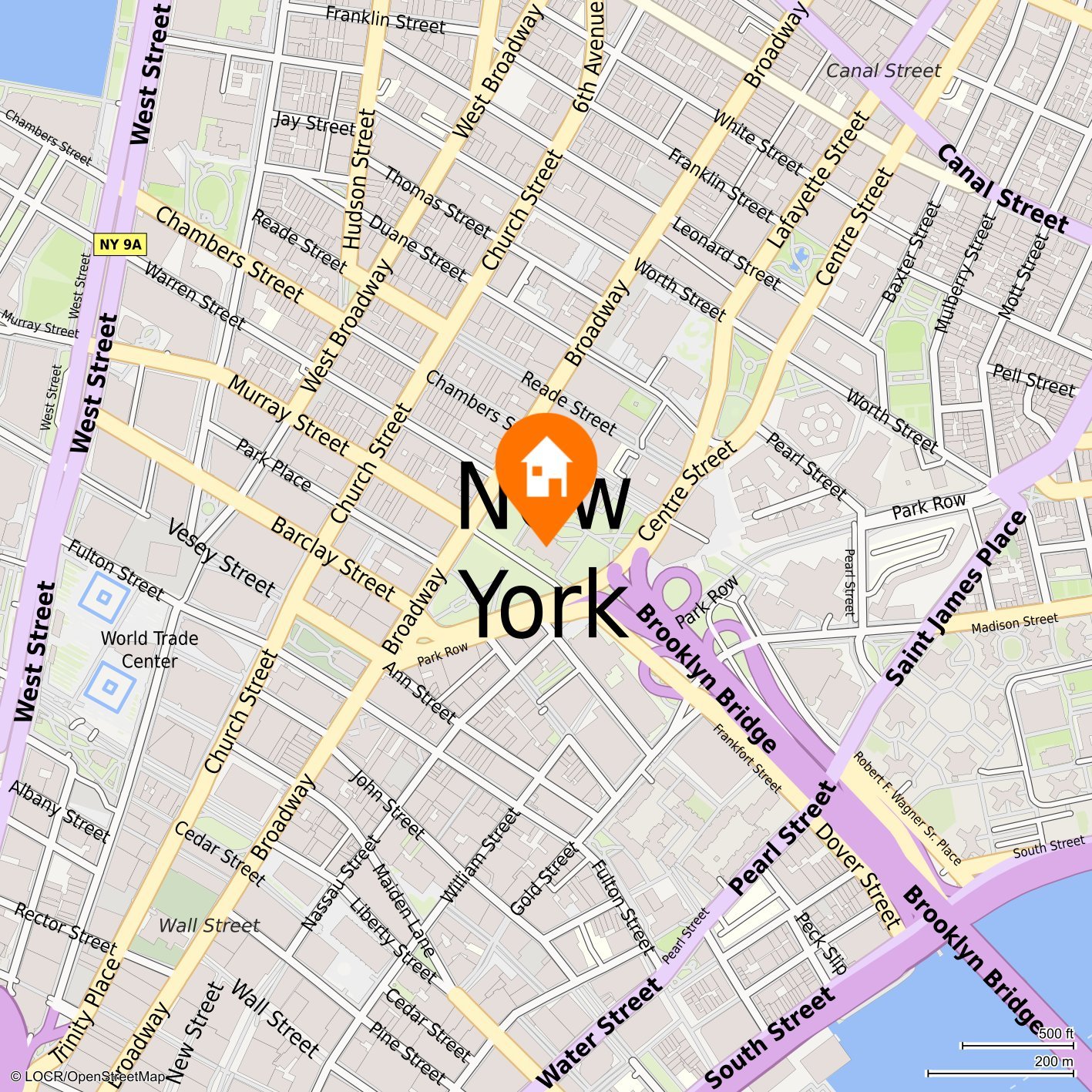
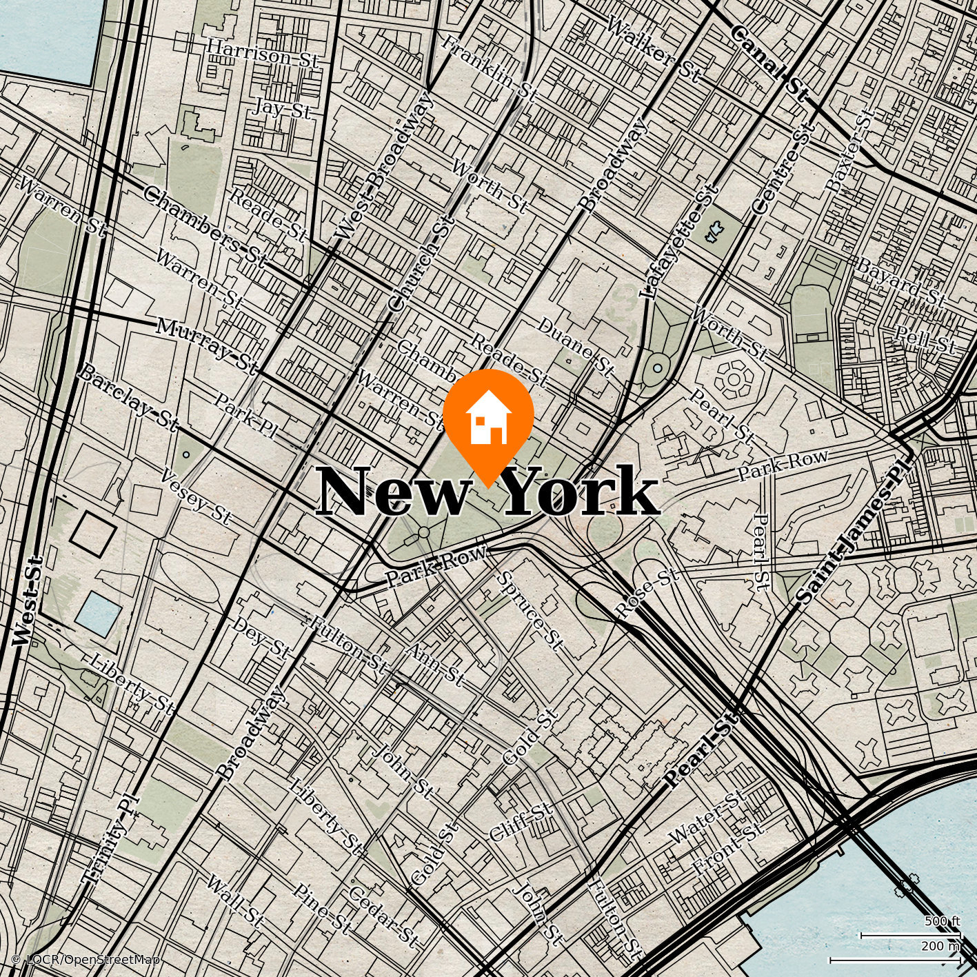
Display one or more locations near an address

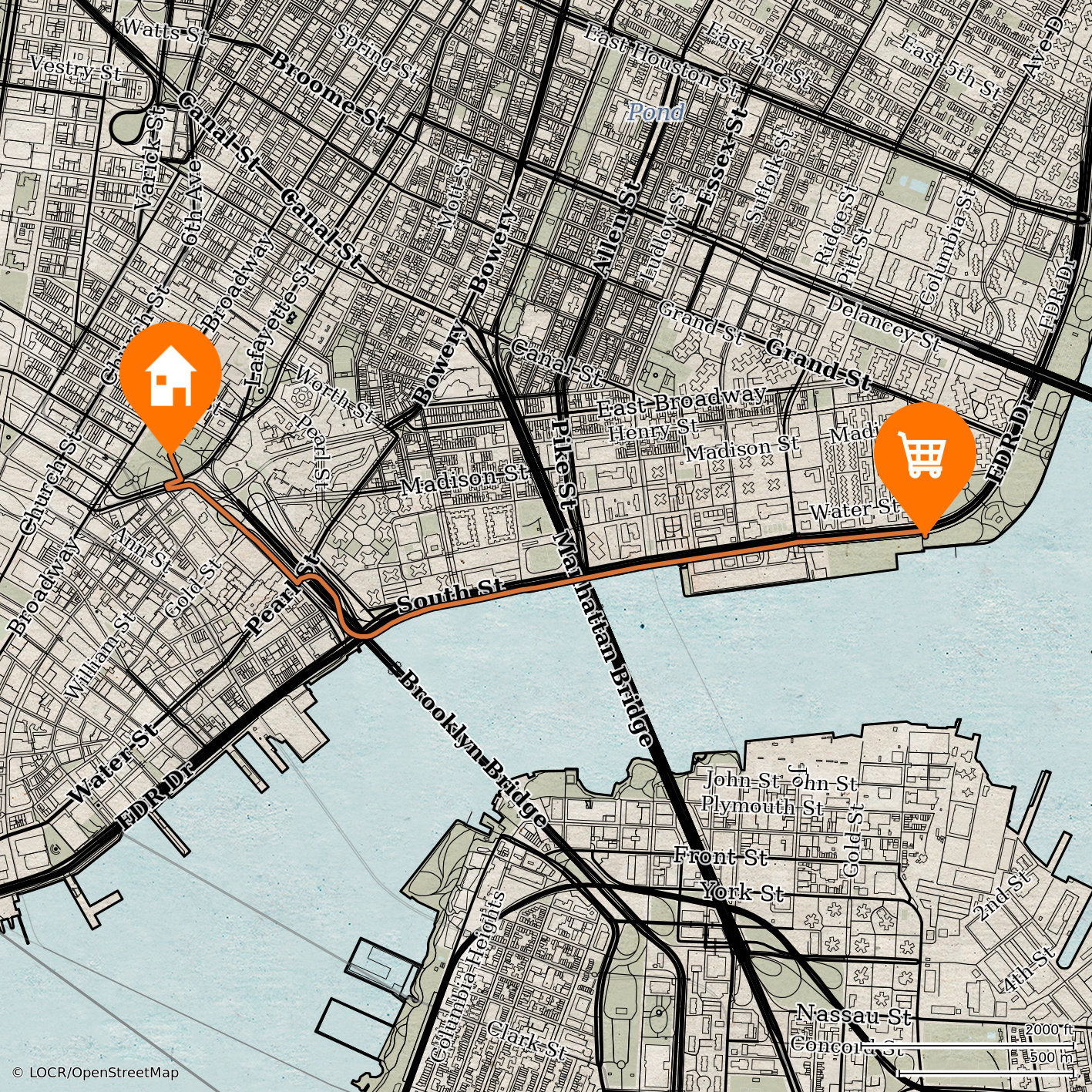
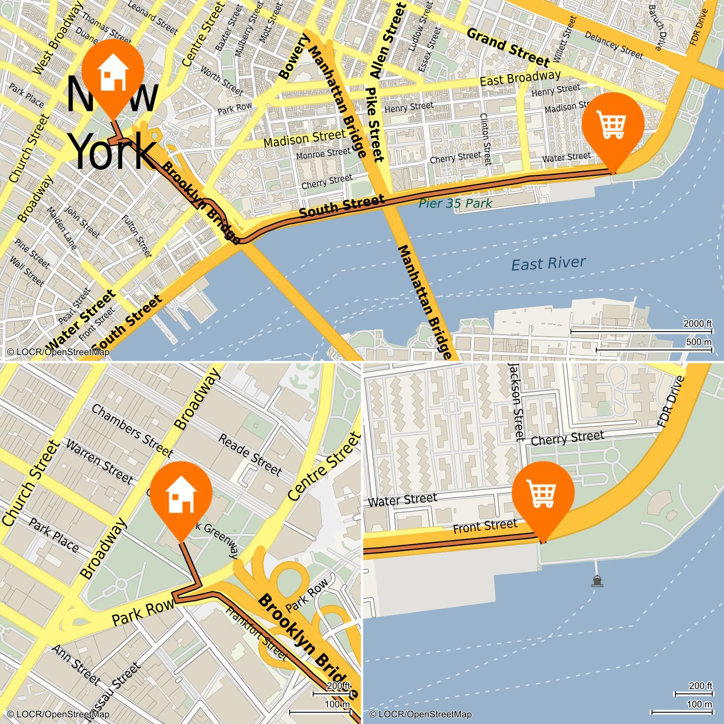
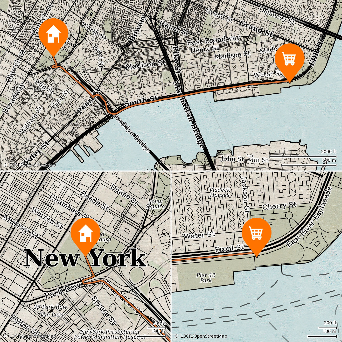
NAVImaps
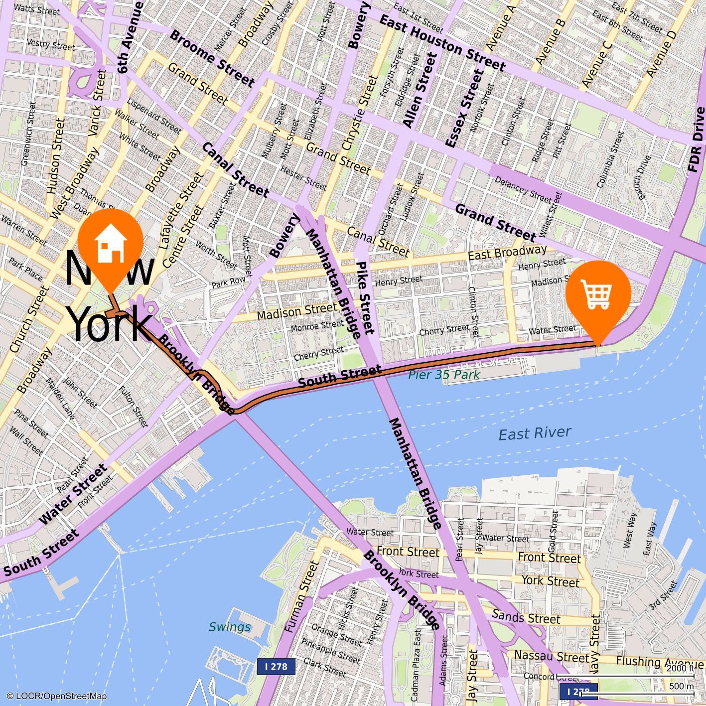
Route from the recipient address to one or more locations
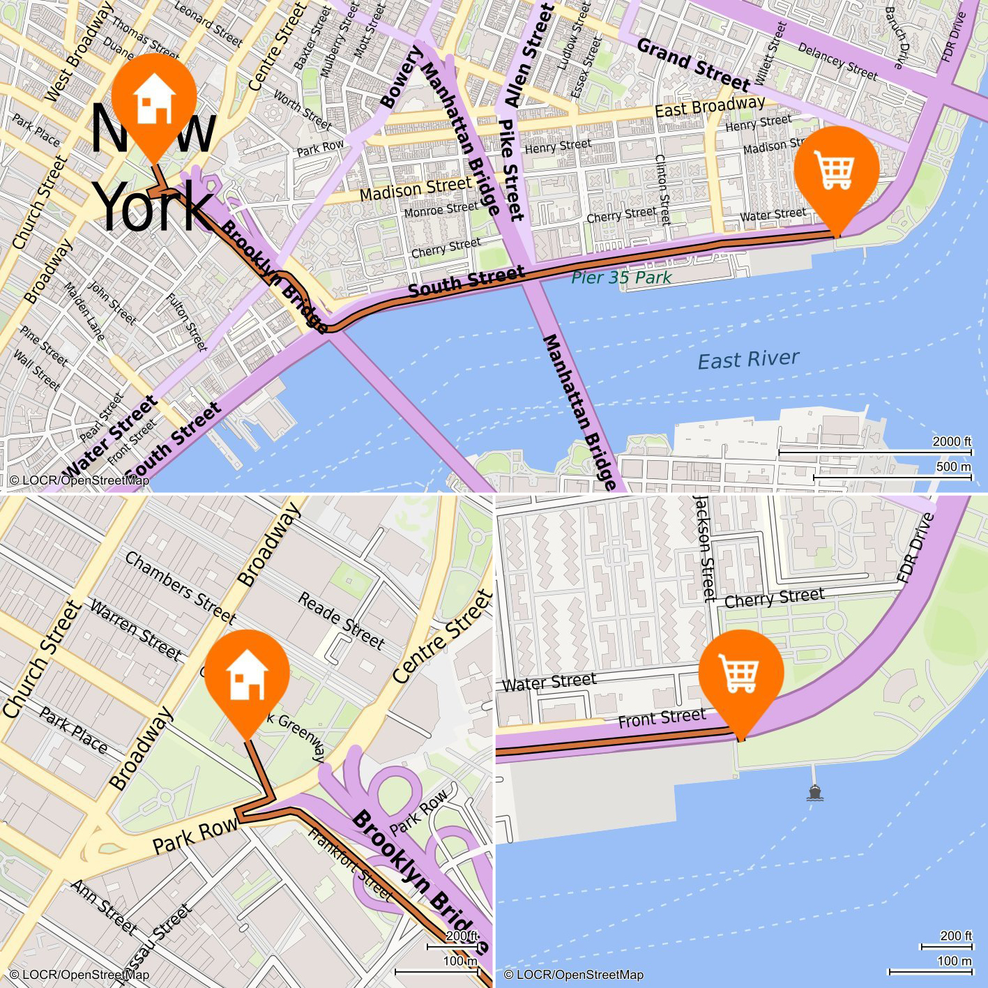
MULTImaps
Combination of LOCALmaps and NAVImaps - makes both route and surroundings visible
Maps customized for your project
Whether it’s one or multiple locations, single maps, or a million, our maps are customized for your project and created on demand for each recipient. Maps communicate your information in colors, designs, and icons that are variable and adapted to your corporate design.
locr MAPS are both eye-catching and informative graphics. Personalized maps arouse emotions and memories, which has been proven to increase response rates and promote long-term customer loyalty.
We work worldwide for companies in a wide range of industries. locr MAPS can be found in personalized print products such as direct mail, magazine covers, or e-mail newsletters. Maps are also suitable for art prints or photo books. We also offer animated VIDEOmaps for online marketing or video mailings.
You can find practical examples here


GEOservices
Analyze addresses and locations – identify and recreate connections


Address optimization
• Check for duplicate or incorrect addresses

Address assignment
• Assignment of nearest locations to a customer address
• Assignment based on distance or travel time
• Up to five locations per customer address
• Assignment based on distance or travel time
• Up to five locations per customer address

Travel time, distance, routing
• Calculation of estimated travel time and distance
• Calculation of route from customer to destination address
• Calculation of route from customer to destination address

Address geocoding
• Enrichment of postal addresses with missing or incomplete geodata

Reverse Geocoding
• Determination of postal addresses from received geodata
GEOservice in Practice:
GEOanalytics
Analyze specific areas with geodata and address the right target groups


ISOdist
• Visualization of target areas by distance

ISOchron
• Visualization of target routes according to travel time

HEATmaps
• Distribution and density of a selection of locations in a defined environment
• Segmentation of sales territories by a distribution of customer base
• Segmentation of sales territories by a distribution of customer base
GEOanalytics enables a precise analysis and visual representation of areas at different distances. You can plan new company locations, segment target groups, and make optimal marketing decisions.
Do you have questions about our services or an idea for a project?
If you have any questions or ideas for new projects, feel free to use this contact form!
More information can be found in our FAQ.

CONTACT
*marks required field
We will not share your contact information or personal data with any third parties. For further information please see our privacy policy.